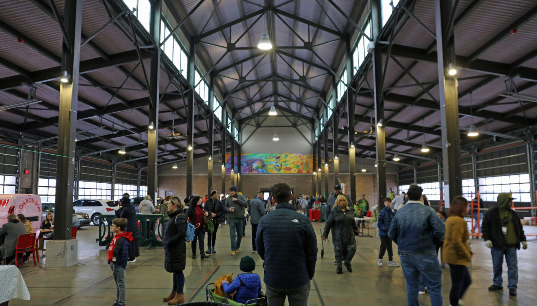
Cities are always more interesting if their look is connected to the work they do, or the story that brought people there in the first place.
Suburban office parks and housing developments, plus strip malls, are depressing wherever you see them, because wherever you see them they look the same. But housing patterns, street layouts, even building styles that are obviously related to local natural or industrial features (a waterfront, a mountain ridge, a giant factory or a mine) – these make a city’s visual texture much more engrossing.
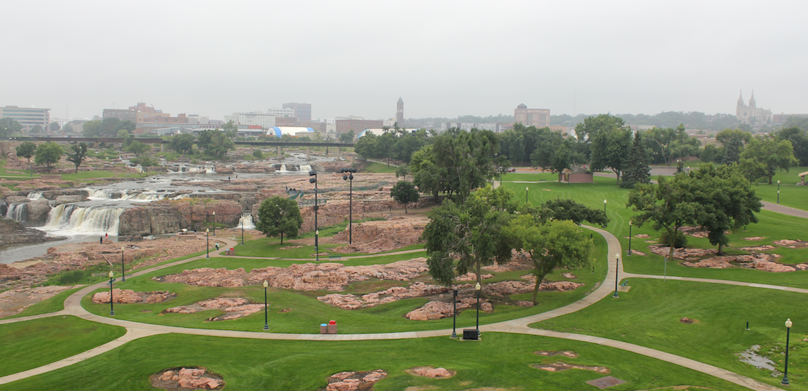
1) Living history. As every visitor to the city knows, its downtown is still dominated by physical features that spell out its history. Falls Park itself (below), recently restored as a recreation and tourist area. The century-old John Morrell slaughtering center and packing house, which has been a central part of the city’s economic and social history and about which there will be more to say. (News update: CFIUS, the U.S. government commission that rules on certain foreign investments in American firms, has just approved — as it obviously should have — the sale of Smithfield, parent company of Morrell, to the Shanghhui food company of Shanghai.) The state penitentiary is next to them; stately century-old houses are being restored in a downtown historic district; the skyline is still dominated by the cathedral and the wonderful Henry Richardson-style courthouse, some of which you might make out in this view over the Falls toward the old downtown.
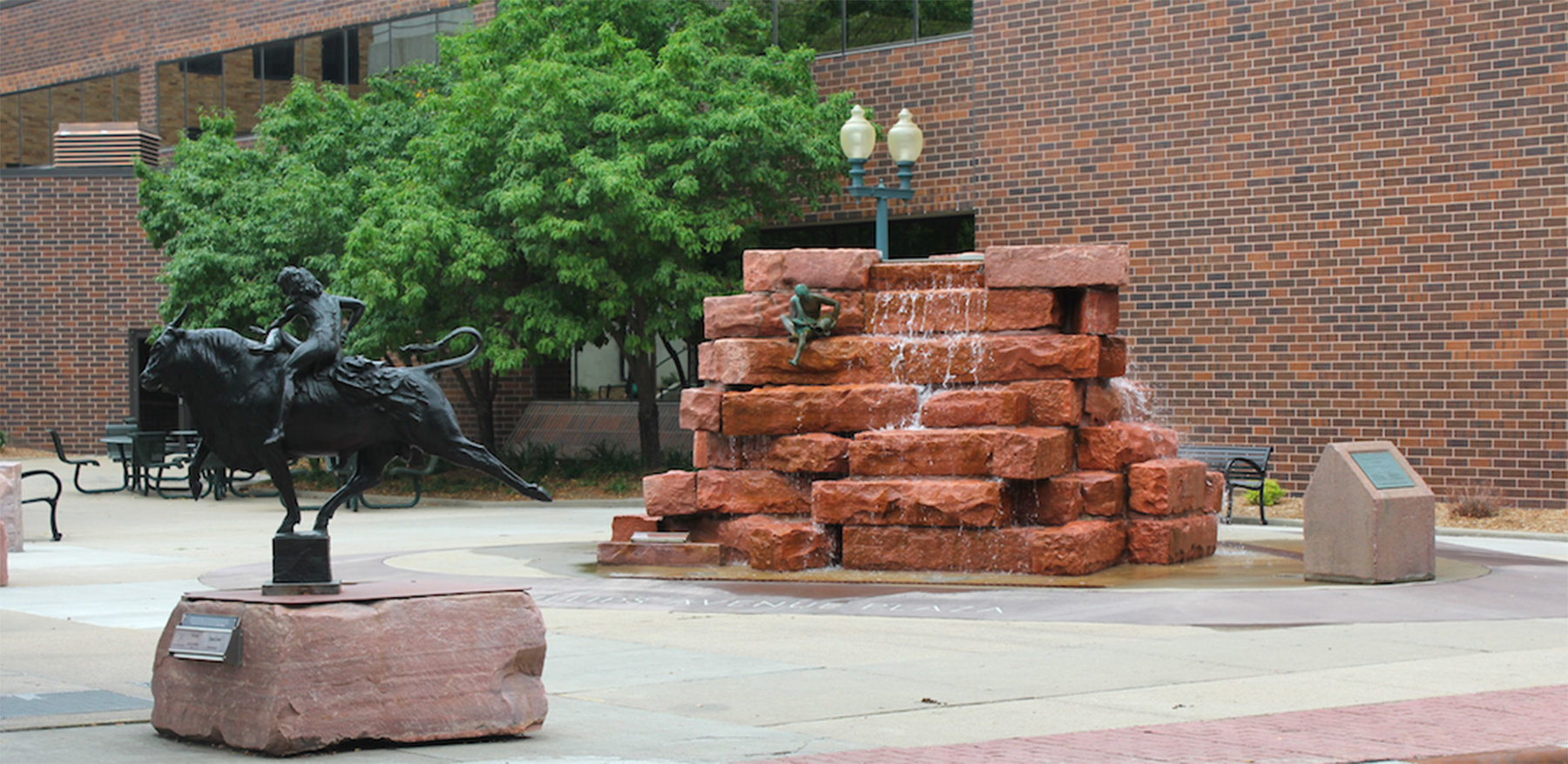
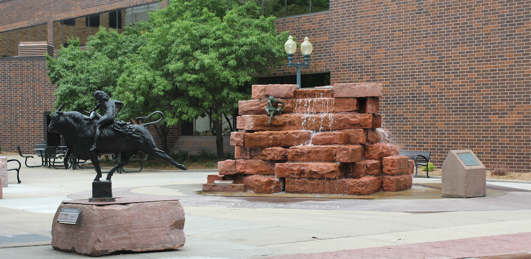
2) Intentional revitalization. Like several of the other cities we have visited, Sioux Falls is in the middle of a very deliberate effort to revitalize its downtown as a retail, entertainment, and residential zone. It has the hallmarks of similar efforts elsewhere: public-art projects, like the Sculpture walk and other outdoor statuary; restaurants and coffee shops; brewpubs; a work-in-progress riverfront walk; a resurrected performance center called the Washington Pavilion; and a lot more. Public art:
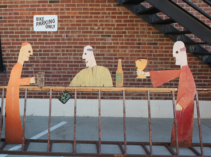
Outside Monks House of Ale, one of many brewpubs:
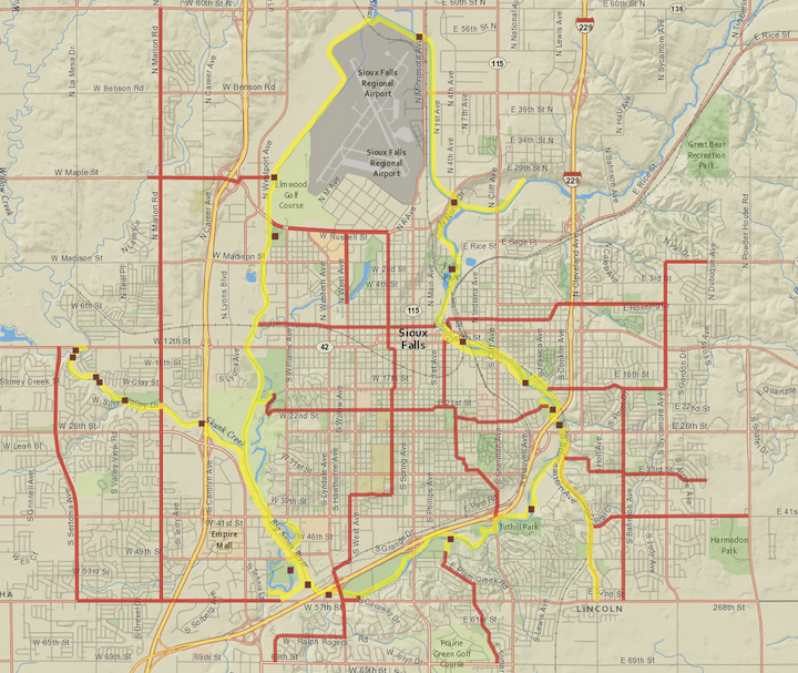
The territory surrounding Sioux Falls is flat and farm-like, rather than the rougher territory of the “West River” half of the state from the Missouri River on to Rapid City and the Black Hills. The city has created an extensive network of bike trails over these flat lands, including a 20-plus mile loop route that we followed one day. It is shown in yellow, and the other trails in red, on this map.
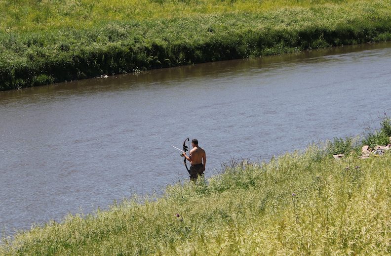
At its highest point the loop trail has a commanding view of the downtown and the packing house. It snakes by the river at many points, including a bow-fishing location.
3) The “fringe city” phenomenon. This leads to the aspect of Sioux Falls’s development that was personally most surprising to me. This is an important enough point that I don’t want to rush in explaining it. And the practical circumstances of my life just at this moment mean that I have to leave to computer a few minutes from now.
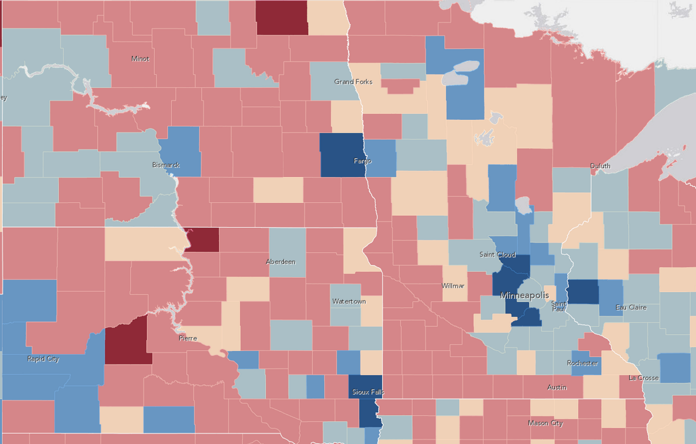
So in the spirit of “serial journalism,” let me do a segue for now by saying that the map at the top of this post, prepared by Esri’s Allen Carroll and showing the big-box retail malls on the edge of the city, combines with the map below to set up the discussion for our next installment. This last map shows projected population change across the plains states in the next few years, hint at this aspect of Sioux Falls’s growth. Blue shows areas that are gaining population; red, areas losing. Sioux Falls is near the bottom center. More to come soon on what these patterns mean and how they affect the culture and economy of a town.
