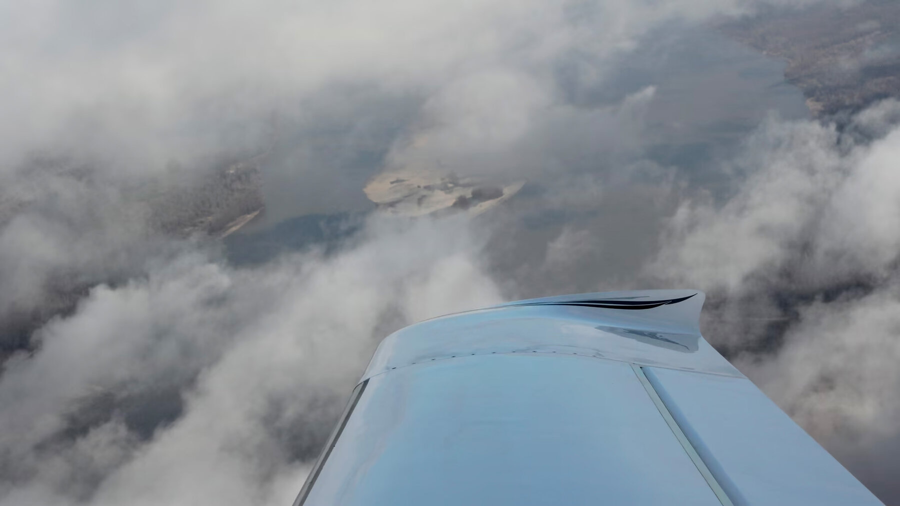
As we’ve been traveling around by small plane for our American Futuresreports in the past 18 months, one of our guiding policies has been No Difficult Flying. Takeoffs and landings during daylight hours only. Keep up instrument-flight proficiency, but avoid having to fly in “actual instrument conditions,” which means through clouds or when ceilings are low. Find comfortable-sized runways rather than tricky smaller ones. When in doubt, wait until the next day.
People who fly light airplanes rationalize away the inherent riskiness of the activity. People who don’t know about aviation often do not realize how many large categories of risk turn on the decision whether to make a flight at all, rather than on anything you do or don’t do once aloft.
More than a year ago, we faced one of these decisions when I was supposed to take the Marketplace radio team back from Eastport, Maine to the commercial airport in Portland. It would have been less than a one-hour flight by Cirrus SR-22, versus nearly a five-hour drive. But the weather was bad and worsening; on takeoff from Eastport we would have had to fly for some time before making radio contact with the nearest air-traffic controllers, in Bangor; and I didn’t have good answers to various “well, what if this happens… ” questions. So the plane stayed on the ground, and they made the long drive.
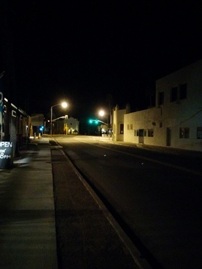
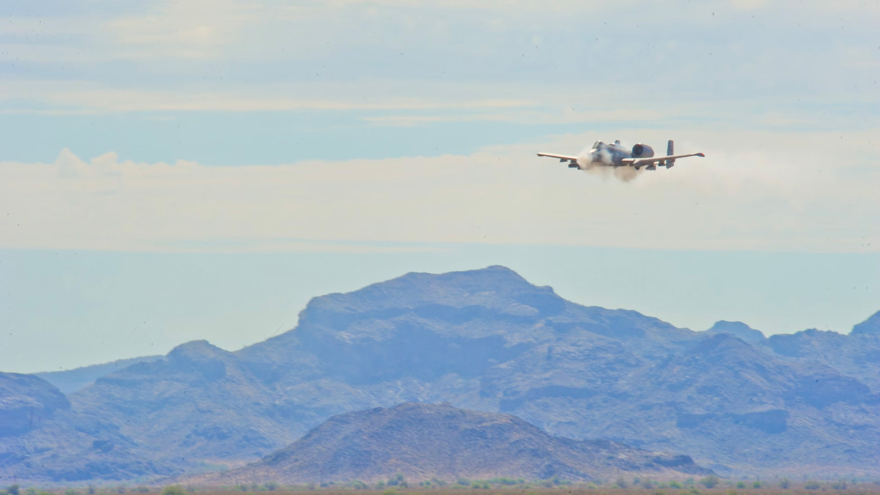
My wife Deb and I had another such moment yesterday. We were flying from the Phoenix area to Ajo, Arizona, a small ex-mining town trying to re-invent itself as an arts and nature travel destination, about which you’ll hear more. Ajo has a small airport, which is unusual in being almost entirely surrounded by various forms of “Restricted” airspace. The most restricted of these, to the city’s north, is known as R-2305, the Barry Goldwater Air Force Range, where A-10s, F-16s, and other aircraft conduct day-and-night bombing and strafing drills.
OK: Much of the West is covered by military airspace, and you talk with the air-traffic controllers to figure out when and how you can cross. But this one on the way to Ajo was more stringent than usual. I called a couple of flight-service briefers and asked how to make the transit; they all said they didn’t know.
Then I prowled around online and found accounts like this, from someone who had flown into into Ajo a few years ago. The punchline of the account is that you can fly to the airport, as long as you follow a narrow state highway that edges along the Air Force range — and while over the road stay exactly 500 feet above the ground, which is lower than most people have ever seen an airplane. (Usually you’re supposed to stay at least 1,000 feet up; typically the “traffic pattern” around an airport, as planes set themselves up to land, is about 1,000 feet above ground level.)
The details of the Low Road to Ajo, as reported by Warren McIlvoy:
On this day, the bombing and gunnery ranges on either side of the highway were active which required you to get clearance from Gila Bend Range Control [a military ATC site] and then fly down State Rte 85 at 500′ agl. [above ground level]…
I did notice a rather large white building just to the east of a south heading highway and Range Control confirmed would be the highway that I was looking for. They reminded me of the 500′ agl altitude restriction and I promptly inquired as to the altitude of the highway. Range Control responded that it was “866′ msl” [mean sea level—ie, the elevation of the road was 866 feet]. I informed them I would remain at 1400′ msl while over the highway. Range Control also requested that I report reaching “Black Gap” which was a prominent landmark that was really a gap between two mountain tops.
I reported “Black Gap” and Range Control instructed me to contact “Snake Eye” on another frequency. Snake Eye reiterated the 500′ restriction over the highway and report reaching the “craters”; It almost seemed surreal.
Here we were doing what was a “strafing run” down the highway and talking to Snake Eye and looking for the craters at the south end of the corridor. I believed that I would be looking for bomb craters on either side of the highway but in reality, this was an area of cone-like rock formations that straddled the highway.
The terrain also begins to rise at this point so I initiated a slow climb to about 1700′ and reported to Snake Eye that I was about 4.5-miles south of Ajo airport.
Contact Snake Eye? Follow a road for 40 miles, over terrain I’ve never seen before (and where jagged formations pop up all over), at 500 feet above the ground? Report passing between two peaks, at an altitude below their summits? All the while with A-10s roaring around?
Warren McIlvoy was exhilarated by his trip: “It was a beautiful day for flying and I had an opportunity to experience the St Rte 85 corridor with an active restricted area and a strafing run down the highway. It does not get much better than this.”
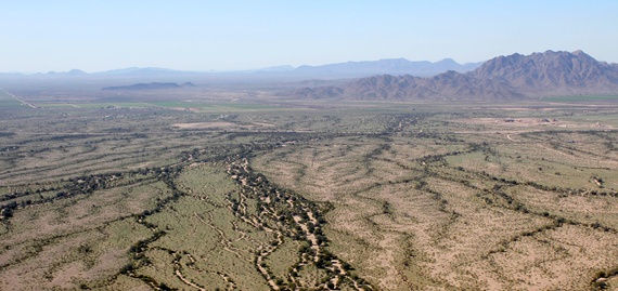
But on the whole, I decided it would be better to land at the last little airport outside the bombing zone, Gila Bend Municipal—it’s in the far left distance of the shot below—and see how the road to Ajo looked from ground level. This we did courtesy of Tracy Taft of Ajo and the International Sonoran Desert Alliance. We’ll try the fly-in another time—and probably I will go ahead and do so, now that I’ve seen what the whole passage looks like.
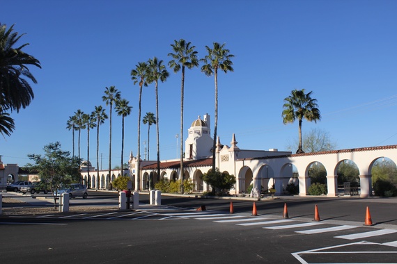
Here is Ajo in the morning, with its historic downtown plaza and spectacular desert all around. I will study up about Snake Eye and reflect on future possibilities.
Attentive readers will have noticed a connection between this report, featuring the plucky but bureaucratically endangered A-10, and the ongoing Chickenhawk chronicles. More on the latter next.

