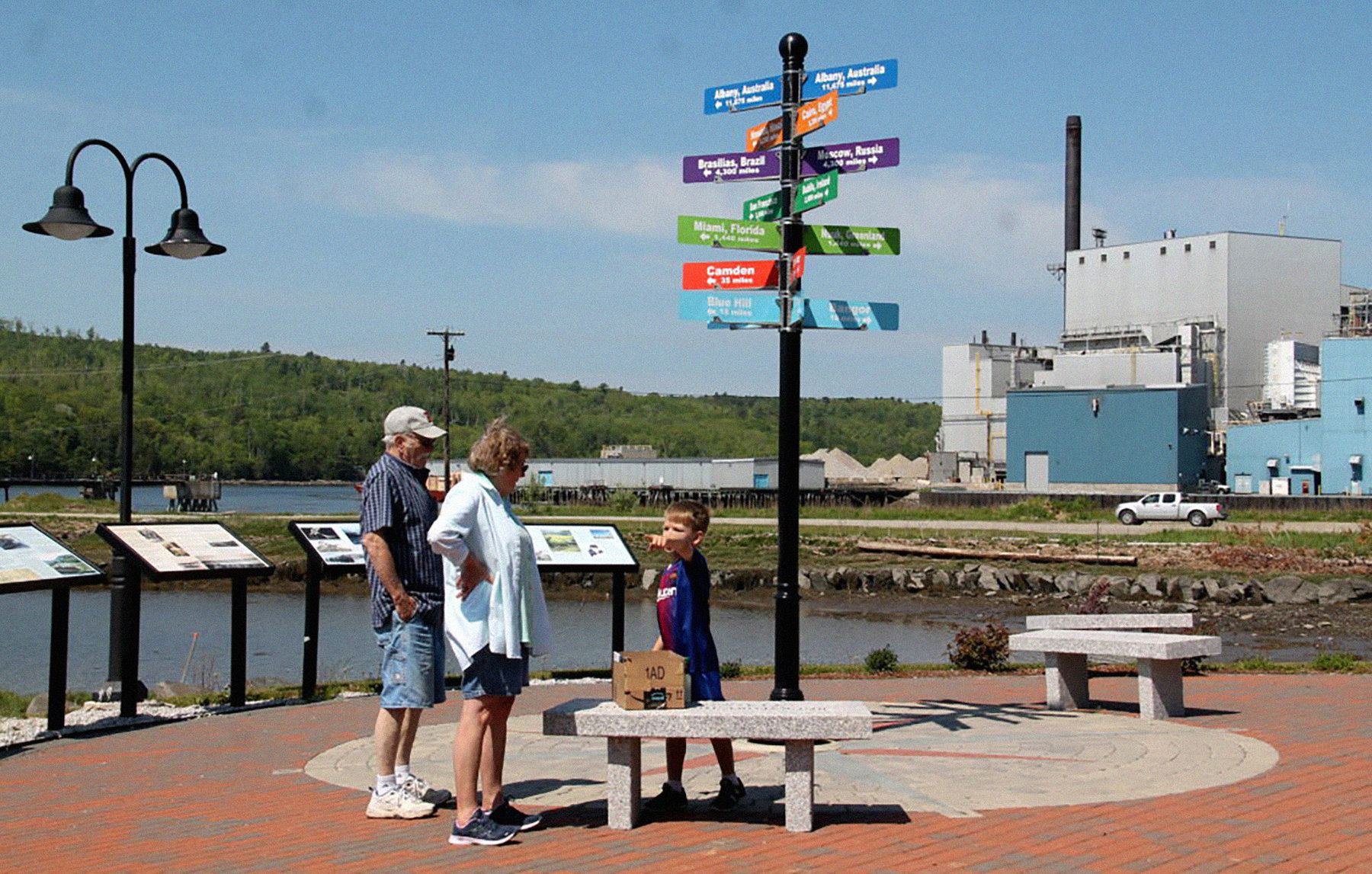
Using Esri’s ArcGIS StoryMaps, the Our Towns team takes a new look at Bucksport, Maine here. We revisit the town Deb Fallows initially reported on here, where she saw firsthand the work of Community Heart & Soul ®, a resident-driven community development process. (CH&S is a partner and supporter of Our Towns reports.)
Since then, Bucksport was named ‘Best Coastal Small Town’, which Deb wrote about here, and she focused a follow-up post on Bucksport’s riverwalk here, which served as inspiration to create our first story map.
What are StoryMaps, and why use them? Jim Fallows writes about how new technologies allow for new ways to tell stories here, exploring the potential of the StoryMap platform created by our friends at Esri, the digital mapping company based in Redlands, California.
One thing that stories and maps share in common is their ability to help humans better understand the world around them and their place in it. StoryMaps marries the two to afford users to create map-, photo-, and video-forward visually dynamic content.
We have seen towns use this innovative platform to create engagement in new ways, like this example from Kent, Ohio, and others.
As storytellers in the modern era, we believe in using the tools of the modern era. We look forward to continuing featuring community-made story maps, and creating our own. They offer today’s citizen one more way to understand their towns and their neighbors, and places near and far from where they call home, as story maps help us look at journalism, civic engagement, and the power of storytelling in new and exciting ways.
Here is Our Towns’ Past, Present, and Future on the Water StoryMap about Bucksport, Maine’s Walkway.


